Where:
The GR 20 hiking trail which traverses the island of Corsica from
north (Calenzana) to south (Conca).
 Map from Wikipedia
Facilities/Trailhead:
The trail is split into a northern and southern section with the
village of Vizzavona being considered the middle point. In the north
the town of Calvi can be reached by train or bus. A bus or taxi will
be needed for the last ~10km to get to the trailhead in Calenzana.
The southern terminus in Conca can be reached from the town of Porto
Vechchio by bus. Vizzavona has a train station which is the best way
to get there. There are some supplies available in each of these
towns but it will be cheaper (and better selection) if you stock up
on any supplies you need in the larger towns. Have enough money with
you. They take cash only and the nearest ATM is an hour train ride
from Vizzavona in the town of Corte.
There
are Refuge mountain huts where you can stay or camp. Camping is only
legally allowed at the Refuges. It takes between 5 and 9 hours of
hiking between the huts. During the summer months there is food
served (breakfast/dinner). There are also some private
Bergeries scattered around but we didn't count on them. They were
bonus places to find a tasty lunch (homemade cheeses, fresh bread, salami and drinks). The huts are often full and crowded. We elected
to bring a tent and stove so we could could feel independent.
This caused heavier backpacks and a slower pace but decreased the
worry of not having a place to stay. It is possible to make
reservations beforehand, however. The Refuges also had tents that they
rented. Most Refuges had a kitchen or outside gas stove that
the campers could use and each had some limited supplies
for sale (pasta, tuna, chocolate, biscuits, bread, soup, wine, beer, beans, etc).
 Refuge Tighiettu - Stage 5
Fees:
The huts were typically 13 Euros per person to stay in. Camping was 7
Euros per person; renting a tent was an additional 10 Euros per person. We found the meals a bit pricy for what you received. 20 Euros for dinner (soup,
pasta, dessert) and 10 Euros for breakfast (typical European bread,
butter, jam, tea/coffee). Two people completely relying on the huts
would be spending around 83 Euros per day not including any alcohol,
drinks, or snacks. It adds up so bring a big wad of cash if you are
going this way. We cooked our own food and slept in our tent and
spent around 40 Euros per day for everything (less alcohol would have
made it a lot cheaper).
Terrain/Trails:
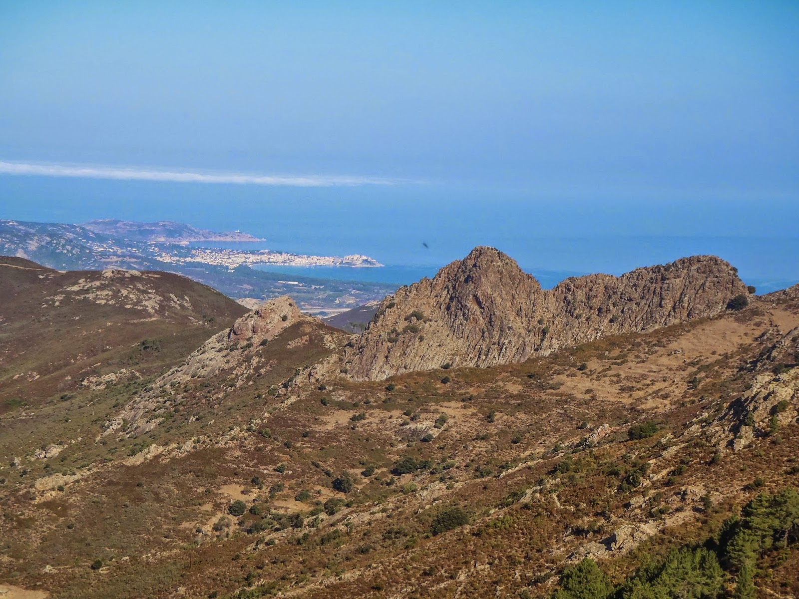
The northern section (9 stages) is the much tougher section of the
hike and involves a fair amount of scrambling. There are many spots
that are steep with large exposure. Chains and handrails exist in
some places but in many areas you will be using your hands to climb
across the rocks. If you don't like heights then this part of the
trail is not for you. The rock tends to be solid granite and makes
for beautiful climbing. If you rock climb this would be a great
place to have a rope and full climbing rack. Climbing lines of all
levels are in every direction you look.
The
southern section (6 stages) is less rocky and rugged but passes
through some very pretty areas. The Plateau de Coscione is the well
known part of this but there are many other scenic spots.
Most
people hike the trail from north to south to get the technical parts
done while they are still fresh. This is the way we went. Hiking
from south to north would be better for photography as the sun will
be at your back as you walk.
This
is the best marked trail we have ever hiked. There are red/white
paint marking and cairns. If we went more then 100 meters without
seeing a marker we would instantly stop and look around since we were
off course. We did not have a guide book, only a map and probably
could have done it without even that (this is not recommended
however!).
 Trail marker
There
are a number of side trips possible along the way. There are
mountains to climb or lakes to hike to. There are also a few places
where there are “variants” - usually the variant goes over a
mountain while the “normal” trail goes around.
Distance:
180 km or 112 miles with about 33,000 feet of vertical change.
This is considered to be one of the most difficult (and scenic)
hiking trails in Europe and is listed on the National Geographic
Adventure website as one of the 20 all time epic trails in the world.
Description:
We chose to do the trail slowly and just hike hut to hut. There are
some days where it is totally possible to do a “double” and
shorten the time spent out there. The standard is 15 days. The
French Foreign Legion do it as a military training exercise in 7
days. The record is an INSANE 32 hours by Guillaume Peretti.
The
first day is mostly up and takes you into the rocky steep first half
of the trail. If you start in the morning you will spend most of the
day in the shade which is good because it can get hot in Corsica,
especially lower down. Section 2, 3, and especially 4 are the most
technical of the route. On section 2 with our heavy packs it took us
6 1/2 hours to go 7km. The trail consists of a lot of up and down
steep scrambling with little forward progress. Day 4 is the Cirque
du Solitude which is the crux of the whole trail. Here is where you
find the most chains, metal ladders, and hand rails to help get
through this area. Even with the artificial help you will still have
a lot of exposed rock scrambling to do. Being comfortable with
exposure helps in getting through this section. It would be a very
bad place to fall. Section 7 has some beautiful lakes that can be
climbed down to. From there to the halfway point at Vizzavona there
are still some brief scrambling areas but much less.


The
southern section of the trail is more mellow. The trail goes through
more forested sections but there are also large meadows, ridgelines,
and fields you pass through. The Plateau du Coscione provides huge
wide open vista views and easily competes with the north for beauty.


In
both sections we saw Mouflon (wild sheep), wild boar, and foxes. Be
careful about leaving food lying around.
 Mouflon sheep
We
took the side trip to the top of Monte Cinto which is the highest
point in Corsica. The trailhead for this is at the end of Stage 3
(Refuge Ascu-Stagnu). There is some rock scrambling involved here
and makes a great day trip.
 Summit of Monte Cinto
No comments:
Post a Comment